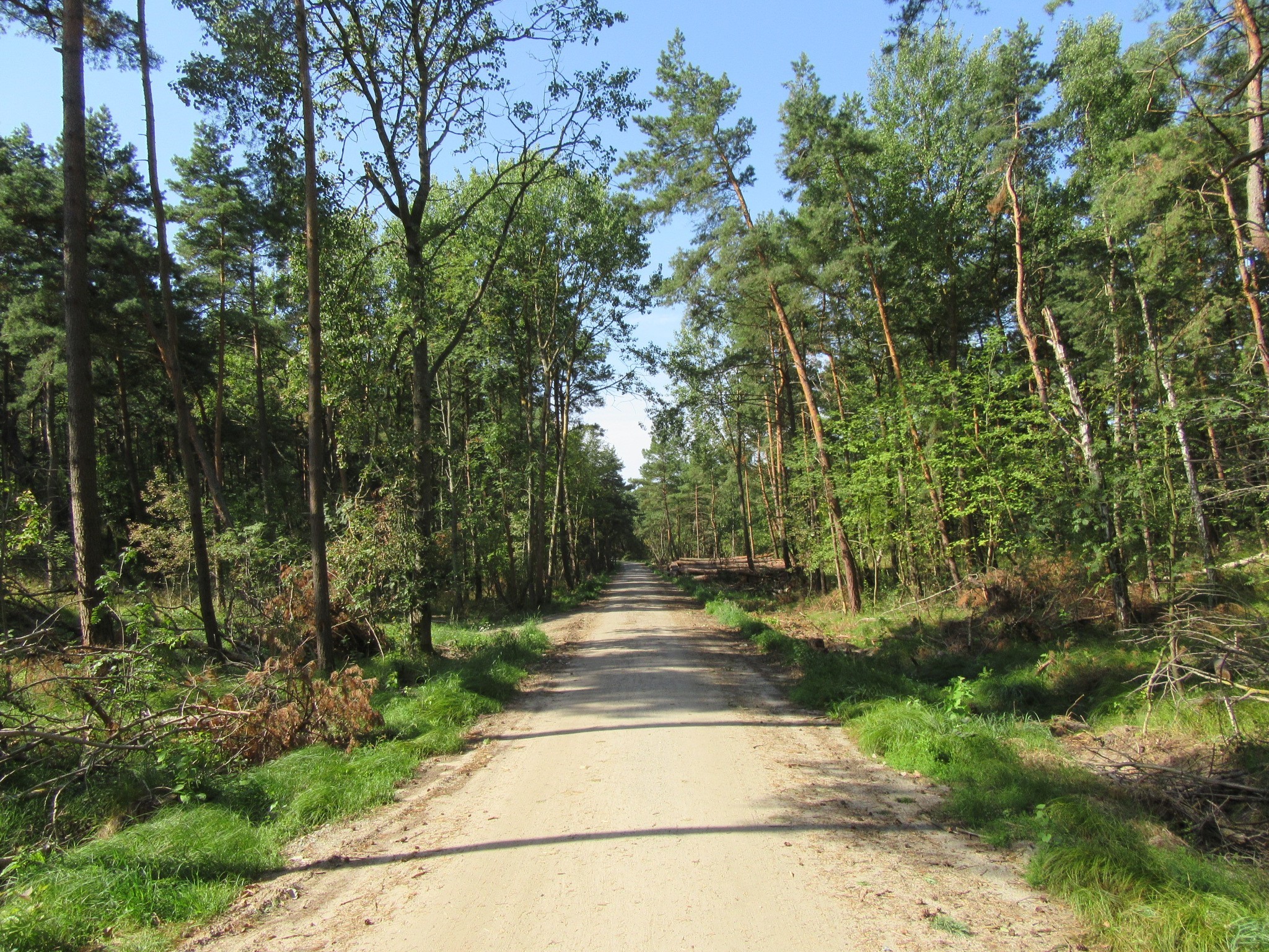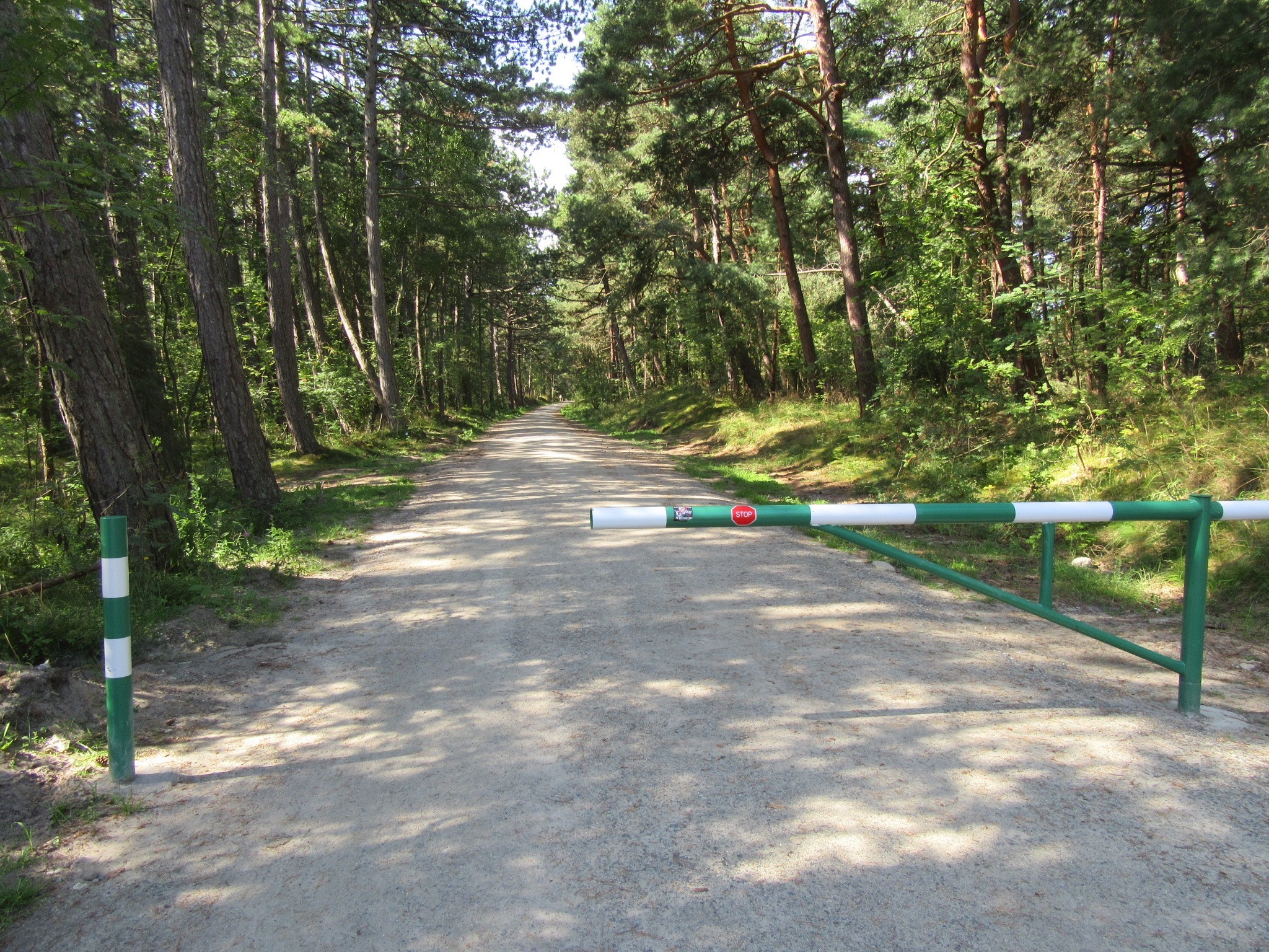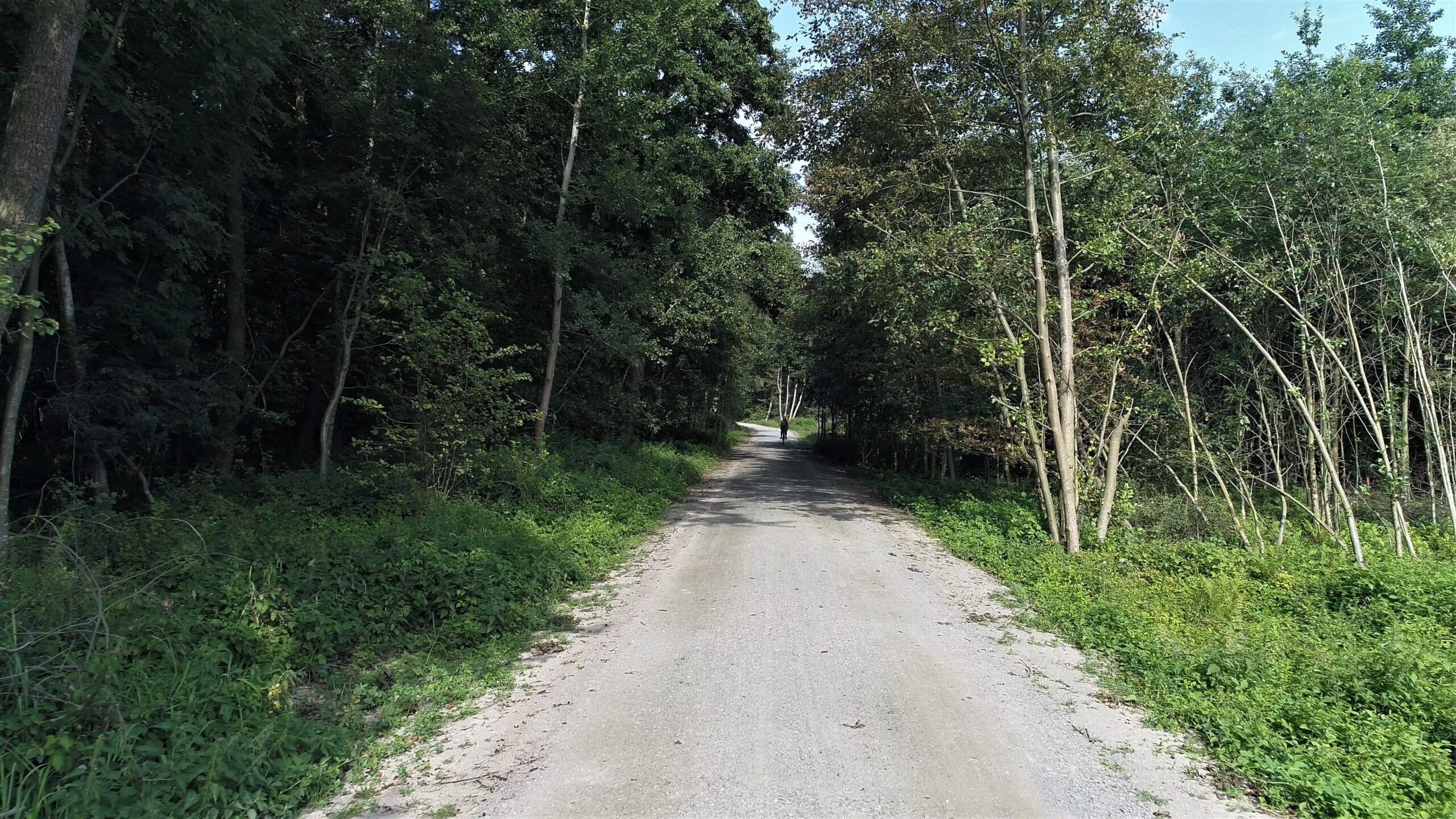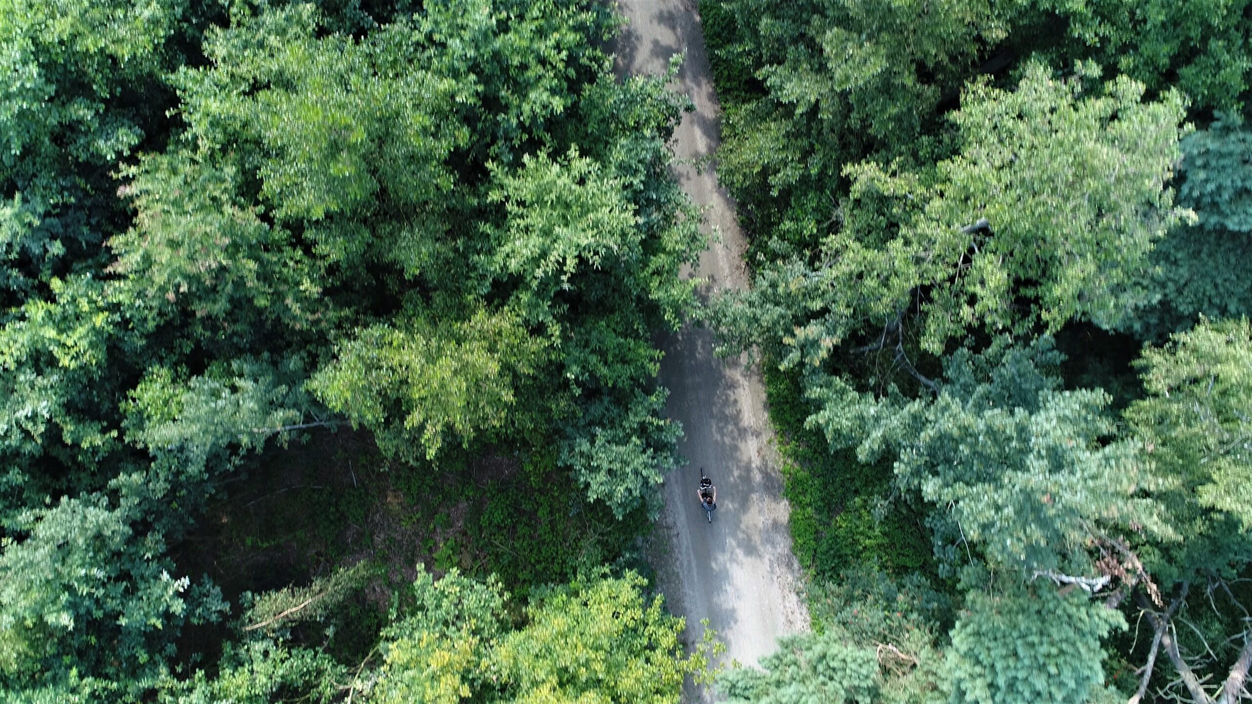

On the trail from Mikoszewo to the national border at Krynica Morska
Project Information
| Project Title | Protection and safeguarding of protected areas through the development of infrastructure that is channelling tourist traffic by means of laying out and constructing tourist walking trails on selected forest sections between Mikoszewo and the national border at Krynica Morska |
|---|---|
| Beneficiary | Krynica Morska Municipality |
| Program | Regional Operational Programme of the Pomorskie Voivodeship for the years 2014-2020 |
| EU Funding Source | European Regional Development Fund |
| Realization Place | Krynica Morska Municipality |
| Overall Value | 11 222 927,67 PLN |
| EU Funding | 7 856 049,30 PLN |
Project Description
The range of the project includes the following:
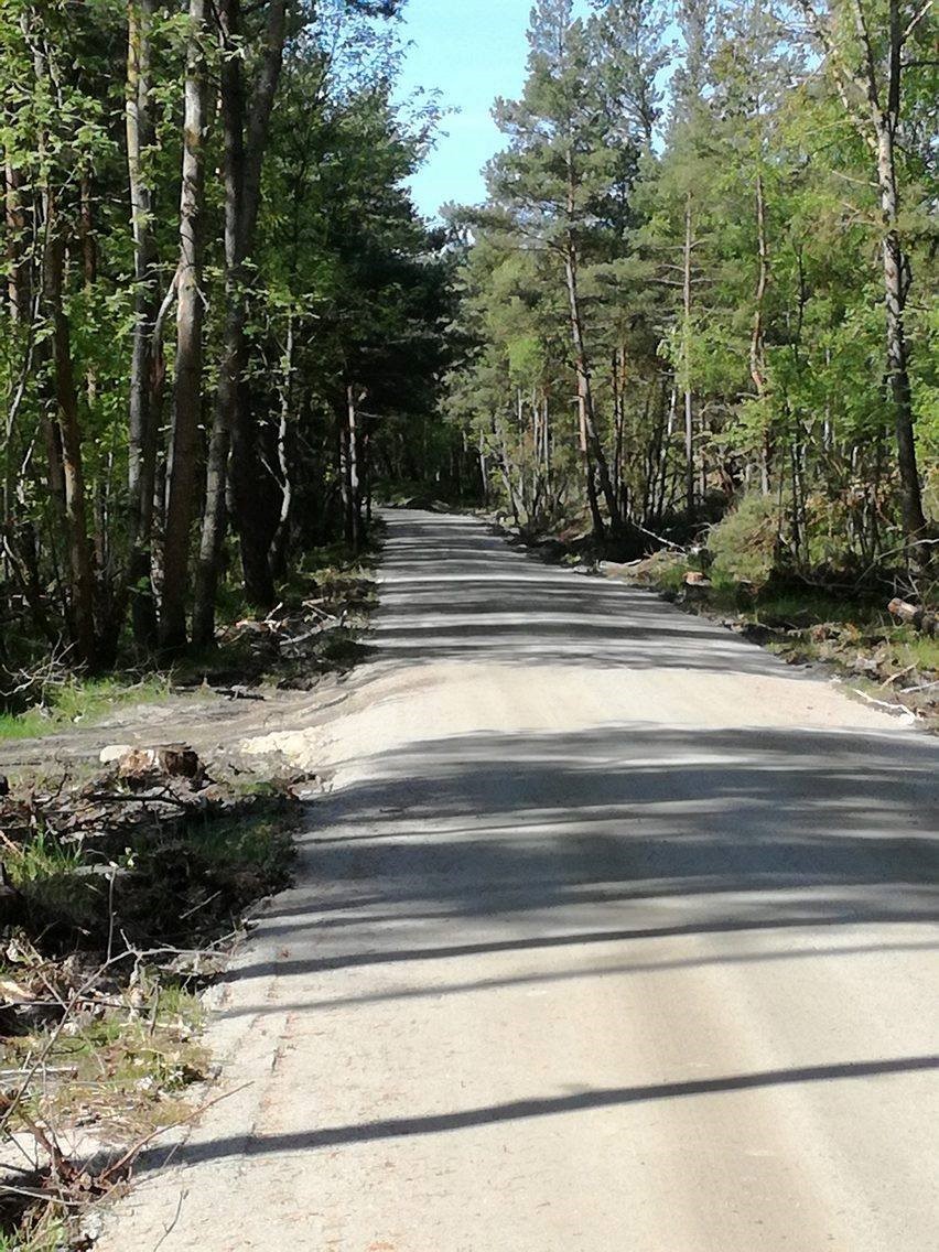
1. safeguarding of protected areas against an excessive and uncontrolled tourist influx, in particular with regard to channelling tourist traffic by means of laying out and constructing tourist trails on the following sections: 1) Mikoszewo – Stegna: 14.82 km – Stegna Municipality, 2) Sztutowo – Kąty Rybackie: 2.086 km – Sztutowo Municipality, 3) Kąty Rybackie – Przebrno: 7.75 km – Sztutowo Municipality, 4) Przebrno – Krynica Morska: 1.1 km – Krynica Morska Municipality; 5) Krynica Morska – Piaski: 15.4 km – Krynica Morska Municipality, leading through the following municipalities: Stegna, Sztutowo and Krynica Morska, over land remaining under the management of the Elbląg Forestry Office
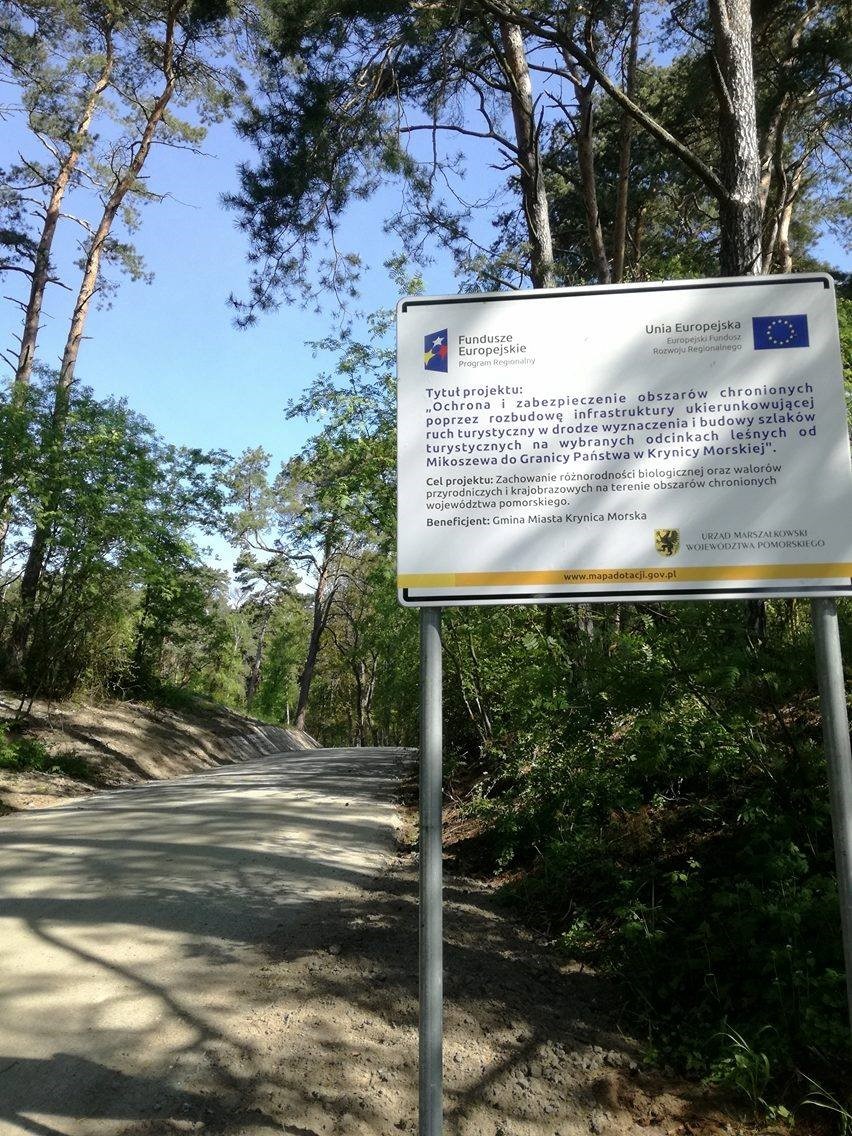
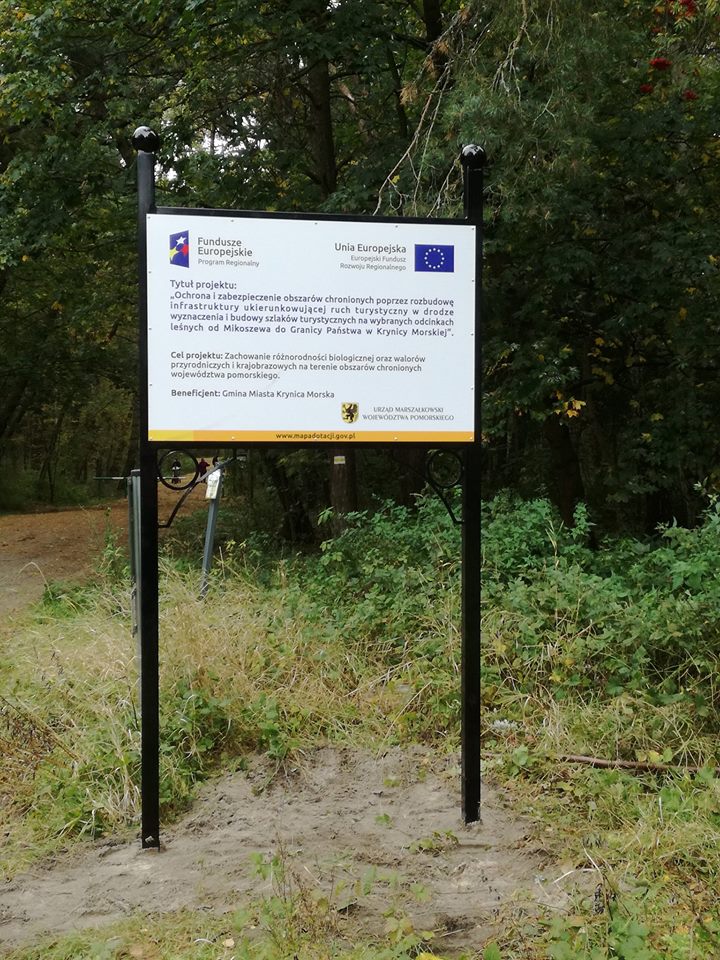
2. making and installation of tourist information notice boards with the following educational content: 1) Mikoszewo- Ferry 2) Mikoszewo- Nature Reserve – „Mewia Łacha” 3) Jantar- oxbow 4) Junoszyno – peat swamp 5) Stegna- oxbow with Salvinia 6) Kąty Rybackie – Nature Reserve -„Kąty Rybackie” 7) Kąty Rybackie- seaport 8) Skowronki – wetland areas located around the lagoon 9) Nowy Świat – remains of a settlement site; 10) Przebrno – information on the swamp birch 11) Przebrno. „Buki Mierzei Wiślanej” [Beeches of the Vistula River Sandbar] Nature Reserve 12) Krynica Morska – Wielbłądzi Garb 13) Piaski. Cliff near the lagoon 14) Piaski dunes.
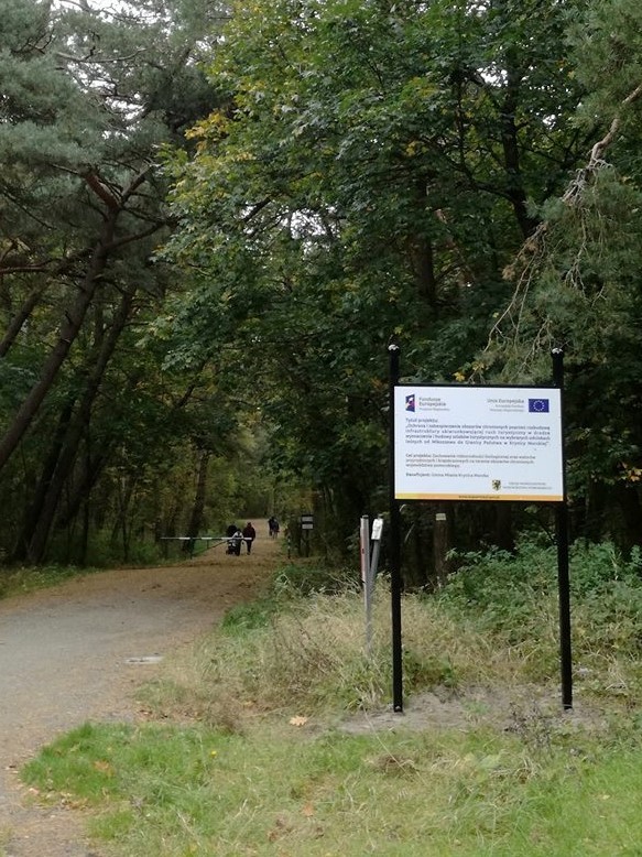
3. Conducting initiatives that aim at providing information about and promotion of the project. As a result of the project biodiversity will be preserved as well as natural and landscape assets in the protected areas („Mierzeja Wiślana” [Vistula River Sandbar] Landscape Park and in its buffer zone; nature reserves: „Kąty Rybackie”, „Mewia Łacha”, „Moczary”, „Buki Mierzei Wiślanej”; Area of the Natura 2000 PLH 280007 site „Zalew Wiślany and Mierzeja Wiślana”). Reduction of human impact on the environment and of environmental degradation, due to growing tourist traffic and ongoing investments by means of laying out and constructing tourist trails/bicycle lanes in areas most popular and used by residents and tourists alike.
Aims of the project:
• directing and channelling the tourist traffic which at present is scattered around the forested areas;
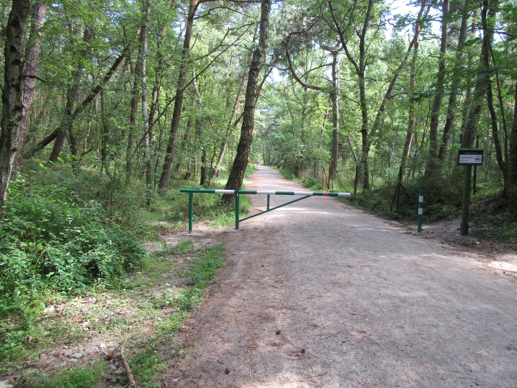
• getting rid of numerous informal paths, and hereby eliminating destruction of the forest floor in the coastal forests as well as eliminating destruction of the root system of the plants on the sandbank/ front-dune, and hence eliminating its instability;
• eradication of littering and polluting of coastal forests as well as polluting the sea water;
• protection of the Baltic coastal zone ecosystem, including nature conservation areas protected by legislation – The Vistula Lagoon (Zalew Wiślany) and the coastal areas;
•conservation of natural and landscape resources and assets and protection of biodiversity;
•ensuring that current and future generations will have access to the natural environment while respecting its assets and resources;
• Creation of a unified network of bicycle paths that connects with the international network of bicycle paths.
The following routes will come into being:
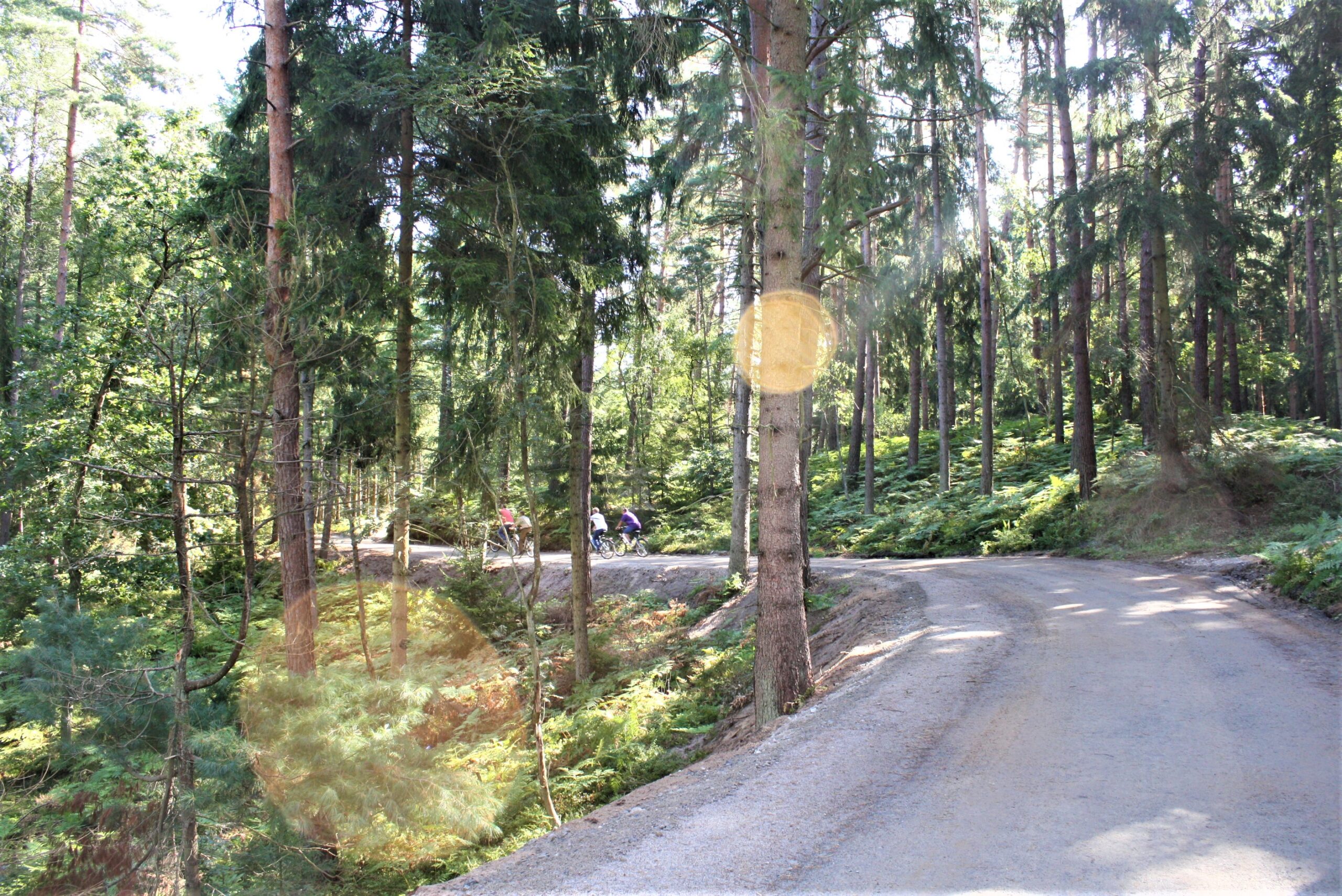
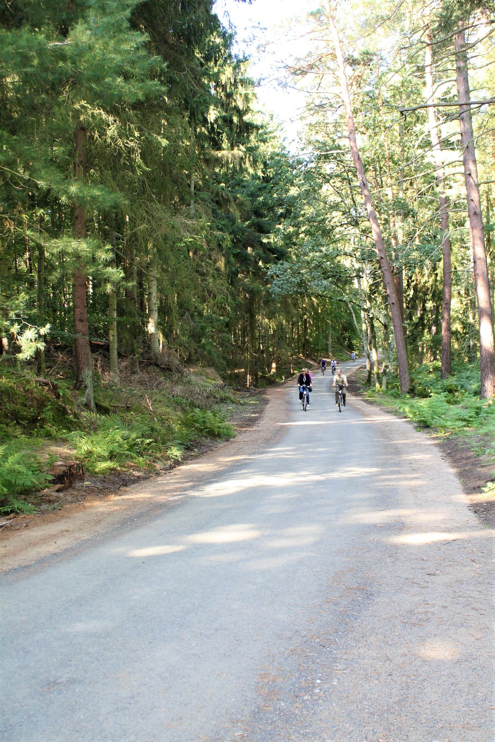
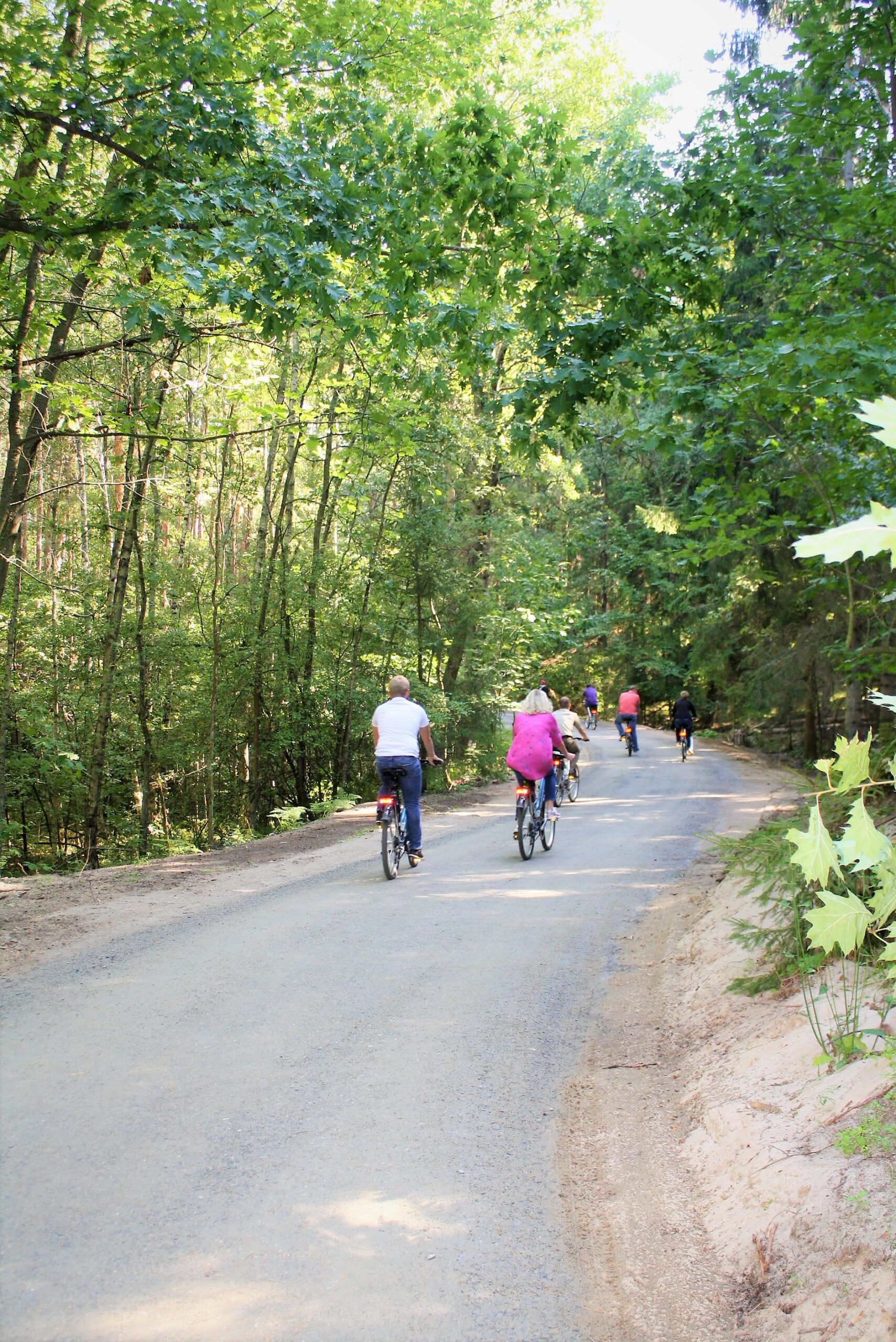
1. Mikoszewo – Stegna up to the border of Stegna and Sztutowo municipalities near the Stutthof Museum: 14.82 km – it is being implemented by Stegna Municipality- it starts at Mikoszewo, passes through picturesque Jantar, Jantar Leśniczówka, Junoszyno, then Stegna and the road to Sztutowo.
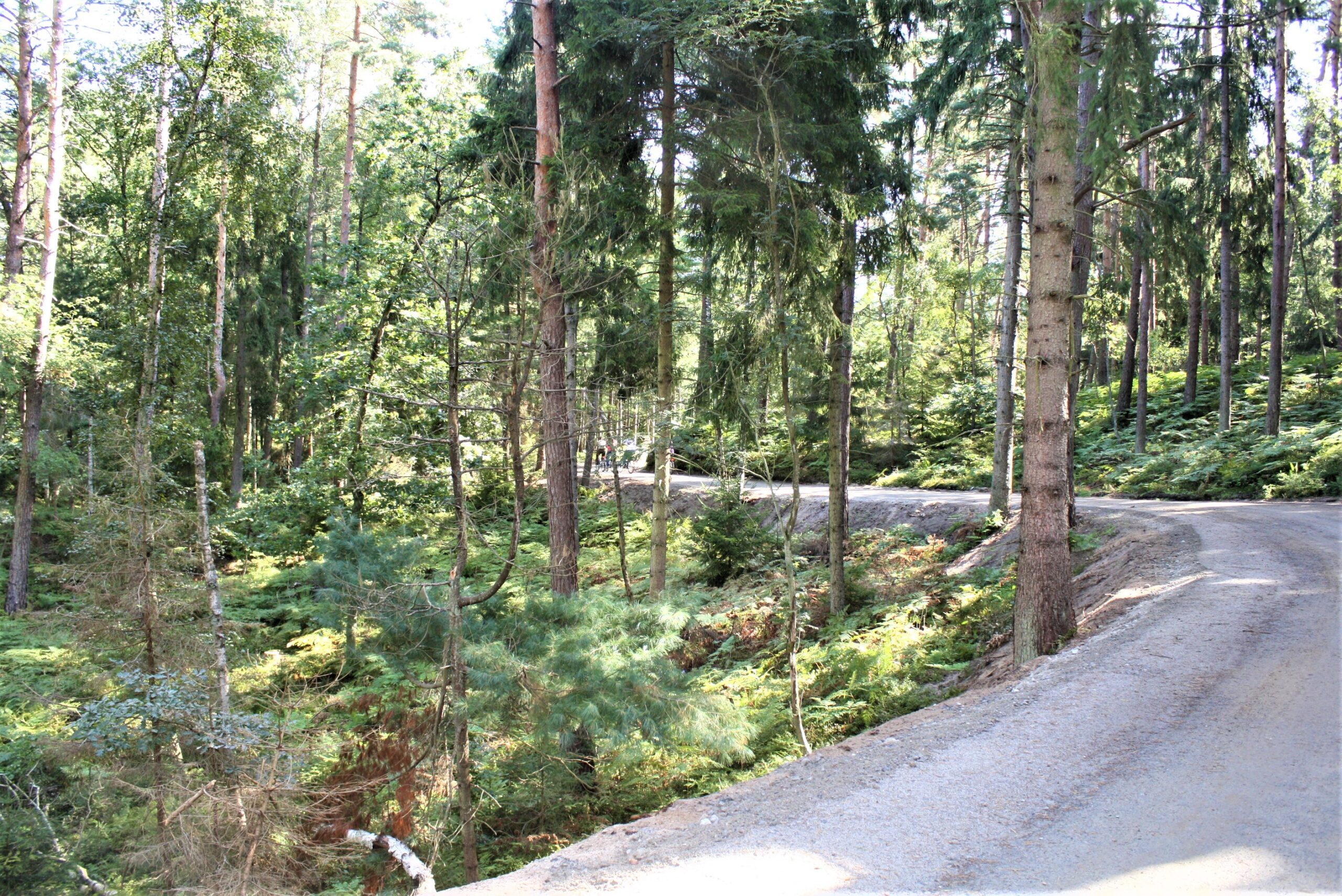
2. 2) Sztutowo – Kąty Rybackie: 2.086 km – implemented by Sztutowo Municipality – this is a section with an interesting variation to the smooth path surface which provides a challenge to cyclists. Many steep climbs and downhills require lots of focus and effort, but committed cyclists will enjoy them. The cycle path runs alongside road No. 501, so vehicle traffic, which is quite substantial on this stretch, can be avoided.
3. Kąty Rybackie – Przebrno, length: 7.75 km – implemented by Sztutowo Municipality – this section is under construction and will be completed in August 2018.
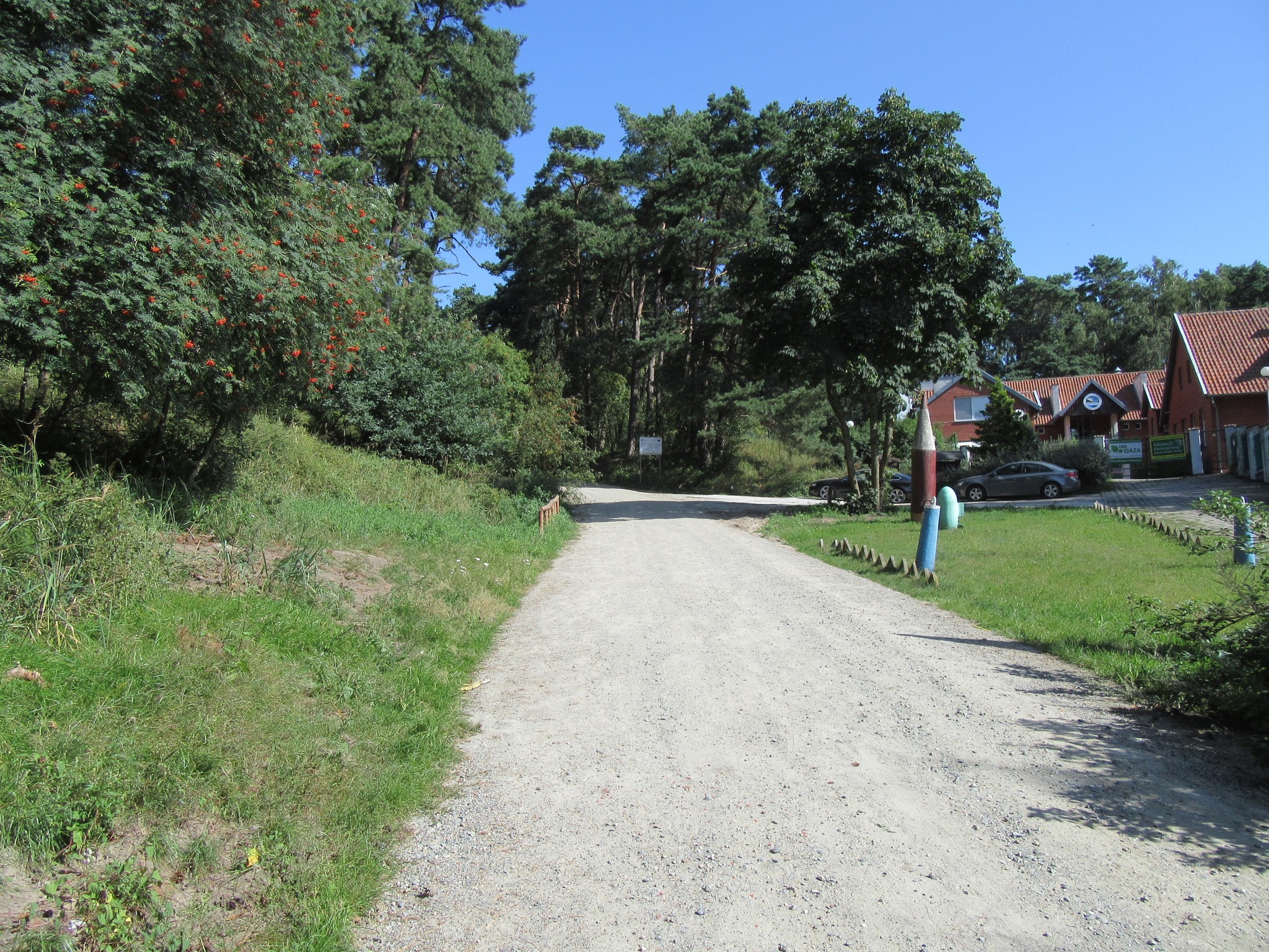
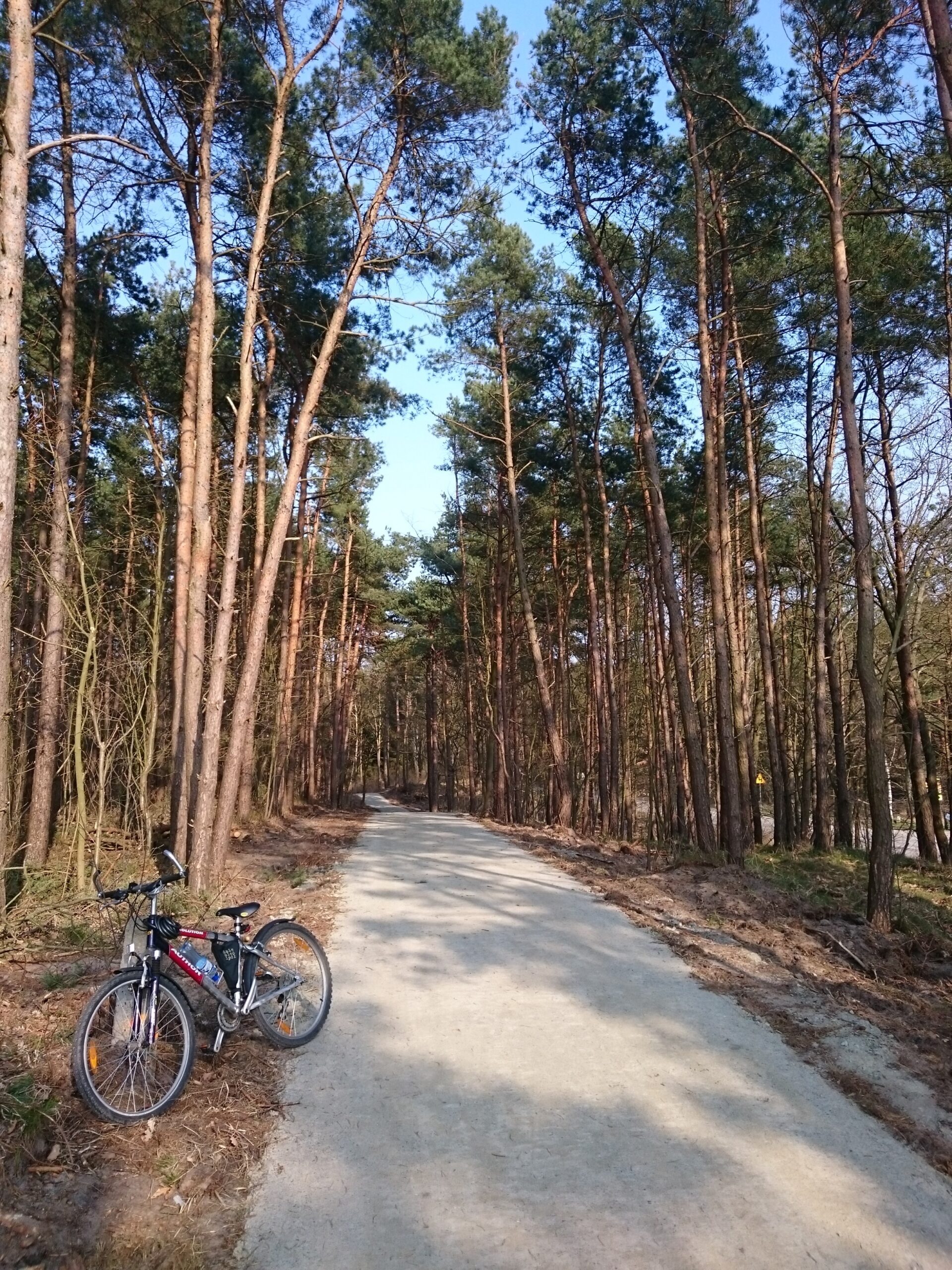
4. 4) Przebrno – Krynica Morska: 1.038 km, implemented by Krynica Morska Municipality – a short section through a picturesque forest. This route can be accessed by bike from road No. 50, opposite the Memorial to the Victims of the Stutthof Concentration Camp.
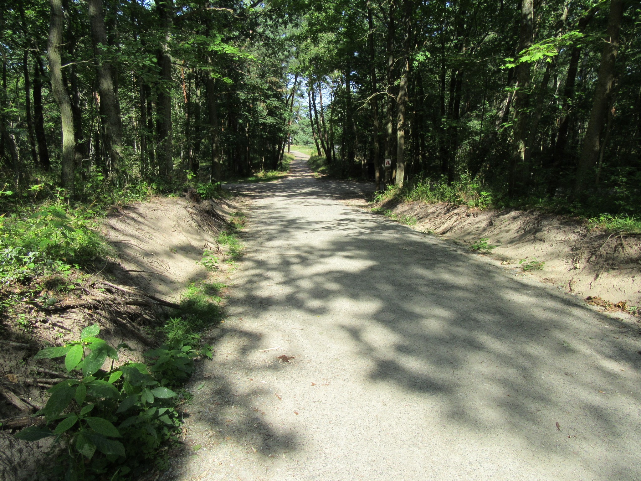
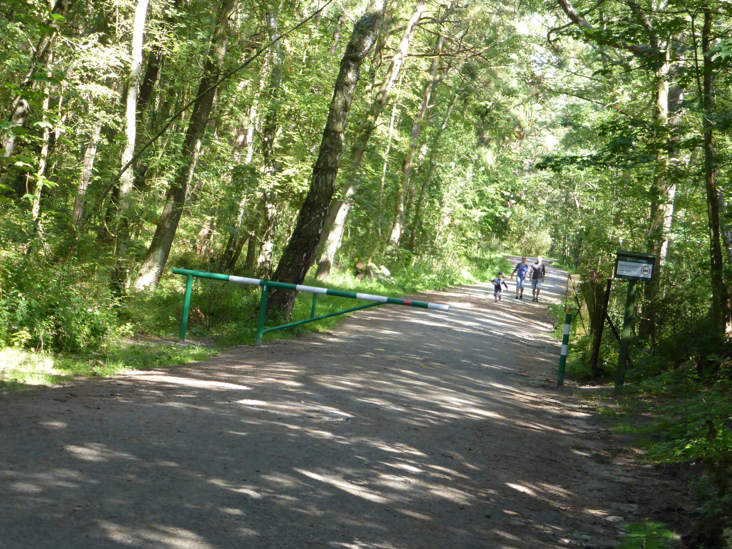
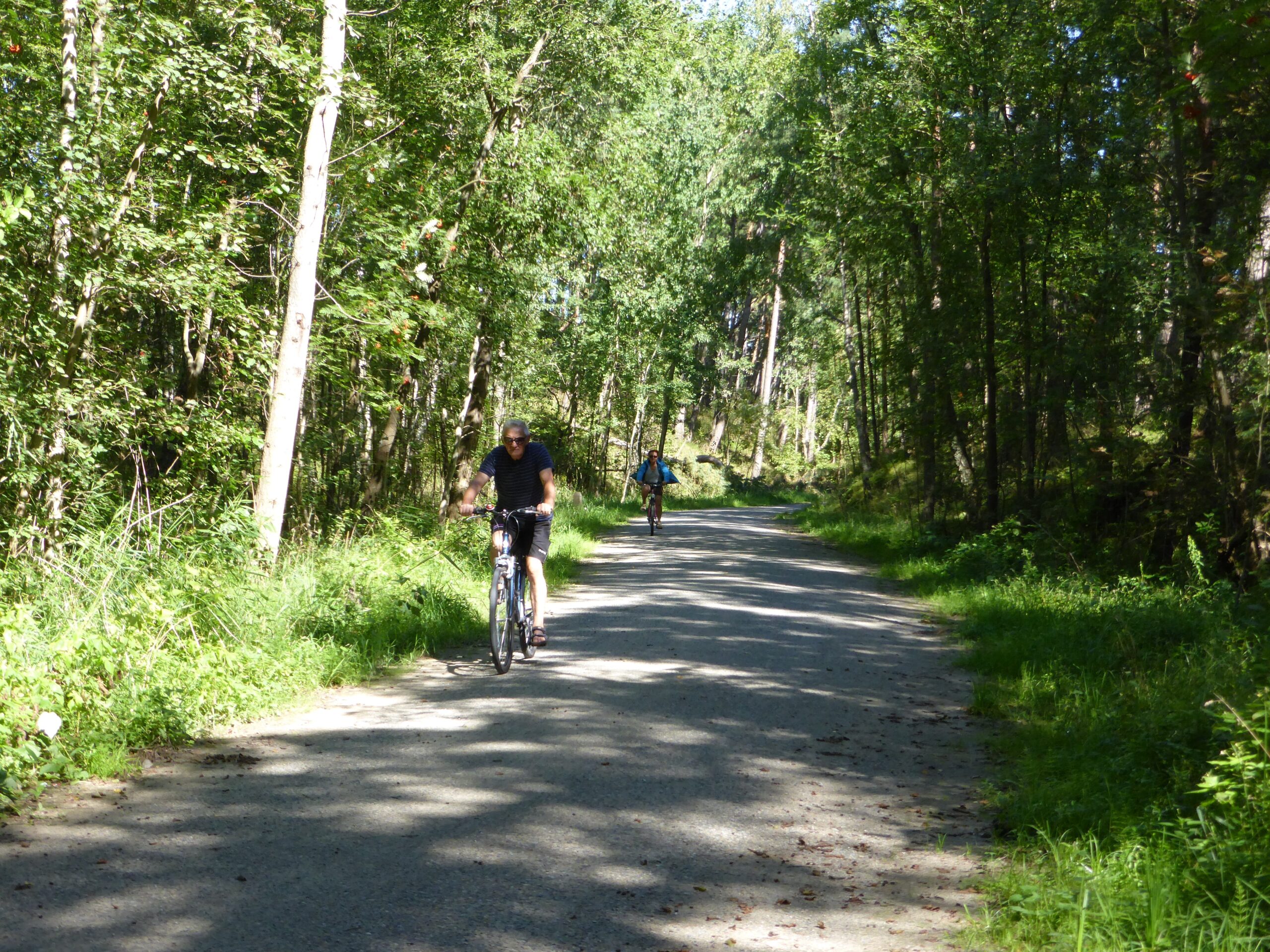
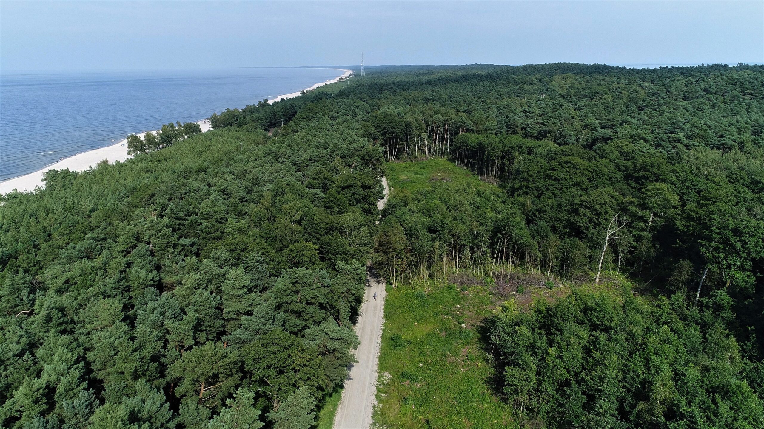
5. Krynica Morska – Piaski: 15.276 km, implemented by Krynica Morska Municipality– starts at Krynica Morska at the Border Patrol building and continues all the way to the National Border, passing a number of entrances to several informal beaches on the way, as well as important tourist lookouts such as: Wielbłądzi Garb and Góra Pirata. The bicycle path provides access to Krynica Morska-Piaski via the turn-off that takes one directly to this location.
An important project component are the educational boards providing information on natural and cultural resources of particular significance, which have been installed along the way and which include the following:
1. Mikoszewo: Inland waterways passenger ferry Mikoszewo – Świbno,
2. Mikoszewo – Nature Reserve „Mewia Łacha”,
3. Jantar- oxbow,
4. Junoszyno – peat swamp „Moczary”,
5. Stegna- oxbow with Salvinia,
6. „Kąty Rybackie” Nature Reserve,
7. Kąty Rybackie- seaport on the Vistula Lagoon,
8. Skowronki – wetland areas located around the lagoon
9. Nowy Świat – remains of a settlement site;
10. Przebrno – swamp birch,
11. Przebrno- Nature Reserve „Buki Mierzei Wiślanej”,
12. Krynica Morska: the highest stabilised dune in Europe – Wielbłądzi Garb,
13. Piaski – Cliff near the lagoon,
14. Piaski – „Mikołajkowe wydmy” [‘Mikołajkowe’ dunes]
Gallery